Other
Five Major Projects Tapped to Drive Canada’s Energy and Infrastructure Future
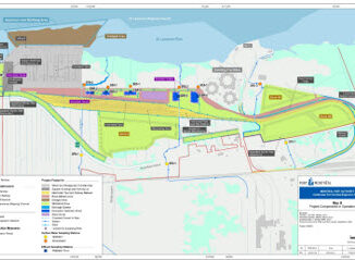
The federal government has identified five projects now under review by the newly created Major Projects Office (MPO), a unit designed to fast-track approvals and coordination for large-scale national developments. The initial list includes: LNG […]