Community
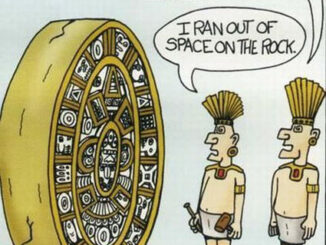
My Top 10 New Year’s Spatial Resolutions for 2013
So as I write this, we are nearing the end of 2012 (or possibly the end of the world as we know it) and I thought that, just in case, I would submit my top […]
So as I write this, we are nearing the end of 2012 (or possibly the end of the world as we know it) and I thought that, just in case, I would submit my top […]

At first glance, navigating the world has never been easier. Getting from Point A to Point B is a snap; just pop an address into your Global Positioning System (GPS) or pull up a map […]

The Free and Open Source Software (FOSS) model provides interacting tools, plugs ins and processes with which Geospatial Analyst (GA) can create, barter, trade software and knowledge. FOSS GA are motivated by many factors but […]
Modern Canada is internationally renowned for its cartographic practices and strong mapping systems. Canada is host to vast landscapes and diverse in climates and topography. These lands and waters were mapped and surveyed, by many […]

I recently interviewed Dr. Nancy McKeown, who in 2010, gave a talk at the SETI Institute entitled: What Clays Can Tell us About Past Climate at Mawrth Vallis, Mars and last year, presented at the community […]
GIS training and teaching is a fascinating endeavor. Undergraduate classes are a mélange of students from disciplines that span the University curriculum. Graduate training is usually highly focused on task-specific outcomes, while professional training can […]
Here, we will be speaking with Dr. James M. Secord. He is the Director of Undergraduate Studies in Geomatics in the Department of Geodesy and Geomatics Engineering at the University of New Brunswick [UNB]. Where […]
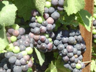
“Wine is light held together by water” – Galileo Preamble…. Beginning in my third year at Brock, I found myself becoming intensely interested in wine and viticulture, so much so that I began revolving my […]