Technology
International Geospatial Briefing September 19, 2022
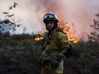
Underwater Robots Allow for Glacial Seafloor Mapping Earth Observation Technology Helping to Mitigate Agricultural Crisis FARO Acquires Mobile Mapping Company GeoSLAM New Portal from US Administration Identifies Community Climate Hazards Learning From and Predicting Natural […]