farming
International Geospatial Digest July 3rd, 2023
Geospatial mapping to help identify threats to South Carolina farmland Mapping the Future of Energy Management with Geospatial Analytics Inspire…
Canadian Geospatial Briefing November 22nd, 2022
AI aims to prevent a repeat of 2004 Peterborough flood City of Medicine Hat Wins 2022 ESRI special achievement in…
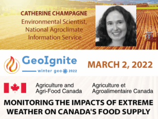
Examining how agriculture is affected by climate
Catherine Champagne shares data on how one of the most important sectors is affected by climate Catherine Champagne, acting manager…
International Geospatial Briefing May 31st, 2021: Using drone technology to assist with pest management; NOAA’s new approach to earth-observation; Using remote sensing data to observe changes in plant populations; Concept3D’s New 360° Map; Mapping Gaza; Five images that show our changing planet
Drone technology uses thermal imaging to identify feral pests on farmland Two airplane pilots and one aircraft engineer are using…
An Introduction: GIS and GPS for Precision Agriculture
Have you ever felt lost when someone started talking about precision agriculture? When people think about a GIS intensive environment,…