floods
Canada’s GEOINT Framework: Setting the Stage for GeoIgnite 2025
As the Canadian geospatial community prepares for GeoIgnite 2025, we are embarking on a mission to redefine and strengthen the…
International Geospatial Digest December 4th, 2023
ArcGIS GeoBIM proves critical for Peruvian megaprojects Taylor Geospatial Institute increases hiring Growing the Australian geospatial industry Mapping USA’s food…
Canadian Geospatial Briefing Nov 15: 1. UK and Canada Space Agencies Sign MOU on Joint Activities; 2. Canadian Flood Maps; 3. Bell and ESRI Canada: Integrated Smart City Ecosystems; 4. Government of Canada Supports Canadian Satellite-Based Emissions Detection System; 5. ‘What3Words’ App in Search & Rescue
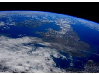
UK and Canada Space agencies sign MOU on joint activities and information sharing The UK Space Agency and the Canadian Space Agency have signed…