Food Insecurity
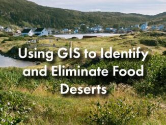
Using GIS to Identify and Eliminate Food Deserts
Introduction: Access to affordable and nutritious food is a privilege that many of us take for granted. However, as of…
International Geospatial Briefing Jan 31st: 1. Exploring the World’s Food Sources; 2. Tracking Sinkholes with Satellites; 3. New Map Shows 2016 Methane Emissions Worldwide; 4. AI and McDonald’s Locations; 5. Satellites Proving Useful in Aftermath of Tonga Eruption
New Interactive Map Explores World’s Food Sources A new application recently published by Visual Capitalist allows users to explore food…
International Geospatial Briefing Nov 8: 1. ESA Satellites to Track Greenhouse Gases; 2. Tracking Worldwide Food Insecurity; 3. Next-Generation Navigation Systems; 4. Cancer-Causing Air Pollution in the U.S.; 5. Smart Building Technology Post COVID-19; 6. Remote Monitoring of Construction Projects
European Satellite Constellation to Track Greenhouse Gas Emissions During the U.N Climate Change Conference (COP26) in Glasgow last week, the…