GDAL

Outil de versionnement des données géographiques à code source ouvert pour des environnements multi-contributeurs (partie 1)

Note des éditeurs : Cet article a été écrit conjointement par Nicolas Gignac, Dami Sonoiki (eHealth Africa) et Samuel Aiyeoribe (eHealth Africa). Ces auteurs…

GIS Open Source versioning tool for a multi-user Distributed Environment (part 1)

Editors note: This article has been jointly written by Nicolas Gignac, Dami Sonoiki (eHealth Africa) and Samuel Aiyeoribe (eHealth Africa). These authors…

What are the Top Programming Languages in the GIS World?

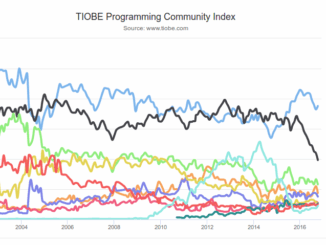
Image source: www.tiobe.com Every now and again we hear about the importance of programming for Geographic Information Systems(GIS) professionals, that…

Georeferencing Scanned Maps Using QGIS

One of the passions of modern day information technologists is to convert the past to digital form and to put…

QGIS, GDAL & Python: Exploring The Lost Buildings of Ottawa

The city of Ottawa has seen its urban landscape change throughout its history. As in many major cities, small buildings…

Ottawa GoGeomatics Social Nov 25th: Mapping Historic Buildings in Ottawa

This months speaker will be discussing his project mapping historic Ottawa.   Kevin Ballantyne, Geomatics Specialist at MDA, will be…