GEODE
GIS Certification: The Canadian Institute of Geomatics Certification Program
One of the GIS Certifications available to Canadians specifically is the Certified Geomatics Specialist certification available from the Canadian Institute…
GIS Certification: AOLS Certificate of Registration
Among the various types of GIS and Geomatics certifications available to Canadians, The Association of Ontario Land Surveyors (AOLS)…
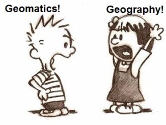
What is the Difference Between Geomatics and Geography?
There seems to be great confusion between these two great disciplines, especially noting that some geographers and schools claim that…
Fredericton’s New Old Centennial Survey Monument
In June 1967, the Centennial Survey Monument (the “Globe”) was unveiled in Fredericton at a prominent location opposite the new…
Discrete Global Grid Systems – A new OGC standard emerges.
The beginning of 2016 was accompanied with a sonorous press release from the Open Geospatial Consortium (OGC) entitled: “OGC® seeks…
2016 Canadian Geomatics Events & Conferences
This is our list Canadian geomatics conferences and events for 2016. Here you will find events pertaining to GIS, remote…
Web Framework for Flood Risk Assessment: Elevation Services and Simplified Flood Models
The development of infrastructure and dense urbanization along water courses and the increasing severity of storm events has brought to…
On the Importance of Mentoring in Geomatics
I guess I was lucky. It seems to me that I always wanted to be a civil engineer, but if…
Elevation Web Services: Limitations and Prospects
Elevation Web Services: Limitations and Prospects Elevation data is necessary for a wide range of geospatial applications such as creating…
When did you decide to go into Surveying/Geomatics and Why?
An informal poll by Julia Meldrum Smith This article was reprinted with permission from the Ontario Professional Surveyor, Volume 56,…
Hexagon takes top Honors in the Wichmann Innovations Award at INTERGEO 2015
Hexagon, a leading global provider of information technologies that drive productivity and quality across geospatial and industrial enterprise applications, recently…
Web Mercator: the de facto standard, the controversy, and the opportunity
Four hundred and fifty years ago, the Flemish geographer and cartographer Gerardus Mercator presented the most popular map projection ever.…