geographic information
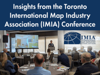
Insights from the Toronto International Map Industry Association (IMIA) Conference
Maps are important. I know that, and if you are reading this, you likely know that as well. Whether you…
Bob Maher: Back to School at COGS
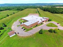
On Friday, GoGeomatics hosted a back-to-school social at COGS (see previous post A Hidden Gem: Harbourville). It included a series of…
Take the Survey: Dutch students study Canadian Geospatial Data Infrastructure (CGDI)
Last week I saw a tweet that caught my attention from Europe. Four students taking the Geographical information management and…
Using GIS to study health care services and utilization––from local to national
Access to timely and quality health care is an important determinant of health and well-being. Despite universal health coverage in…
The Open Geospatial Consortium (OGC): proposed GeoRSS Community Standard
The Open Geospatial Consortium (OGC®) is requesting public comment on the proposed GeoRSS Community Standard. First available in 2006, GeoRSS…
UNB: Spring Graduate Seminar and Student Technical Conference
The GGE Spring 2017 Graduate Seminar and Student Technical Conference was held on Thursday, 16 March. The well-attended activity…
My COGS GIS Education, Part II
In my first article, I introduced the how and why I chose to attend COGS from the fall of 2014…
EnerGIS 2017: Call for Papers & Scholarship Opportunities
EnerGIS 2017 6/5/2017 to 6/6/2017 Suburban Pittsburgh, Pennsylvania. Join us for our 5th annual conference June 5th and 6th 2017!…
My COGS GIS Education
What About COGS The Centre of Geographic Sciences (COGS) is one of the best colleges in Canada for learning GIS. …
GIS in Action: How Does BC Pinot Noir Express Terroir?
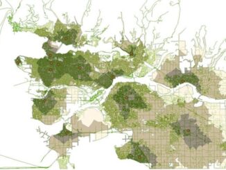
Editors note: In this previously published article, Karl Kliparchuk, BCIT GIS Program Head & Instructor uses GIS to explore the…
Top Ten Climate Change Maps and GIS Applications
Awareness for climate change has been steadily increasing ever since the Green Revolution in the 1960s. There is a plethora…
Event Recap: COGS & CIG & GANS Cooperate for Mapping Workshop
The Canadian Institute of Geomatics (CIG) Nova Scotia Branch and the Geomatics Association of Nova Scotia (GANS), two regional professional organizations that foster the application of geographic information within the geomatics sector recently collaborated to host a high resolution mapping workshop at the Centre of Geographic Sciences (COGS) in Lawrencetown, Nova Scotia.