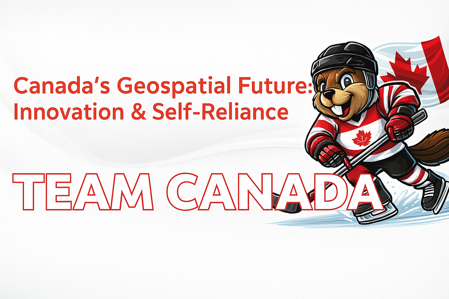
• facebook
  • Twitter
  • Linkedin
  • Youtube
  • Linkedin Group
  • Post a Job
  • Post an Ad
  • Post an Event
  • Post a Directory Listing
  • Post a Press Release
  • Media Kit
  • My Account
  • Login
GoGeomatics
  • MAGAZINE
    • BIM & GIS
    • Community
    • Conference news
    • Earth Observation
    • Education & Careers
    • GEOAI
    • Announcements
    • Reality Capture & Lidar
    • Science
    • Technology
  • Directories
    • ASSOCIATION
    • INDUSTRY
    • EDUCATION
    • Open Data
  • EVENTS
    • GeoIgnite Events
    • Events Calendar
    • GoGeomatics Meetups
  • Services
    • Advertising
    • Marketing
    • Post a Job
    • Post an Ad
    • Post an Event
    • Post a Press Release
    • Post a Directory Listing
    • Media Kit
    • Web Design
  • Find a Job
  • Volunteer
    • Start a GoGeomatics Group
    • Editors & Writers Group
  • About Us
    • About Us
    • Contact Us
    • Frequently Asked Questions
  • Videos
Homegeospatial data act

geospatial data act

Community

GeoIgnite Special Open Forum: Canada’s Geospatial Future – Innovation & Self-Reliance

5 May 2025 GoGeomatics Canada | Canada Geospatial Future

Taking place at GeoIgnite 2025 on Monday, May 12, 2025, at 9:00 AM, this open forum will focus on Canada’s path toward greater self-reliance in the geospatial sector. In light of emerging trade conflicts, including […]

International Geospatial Digest||
Technology

International Geospatial Digest March 27th, 2023

27 March 2023 Volunteer Editors and Group Writers | 3D visualizations

National Geographic Society and Utrecht University Launch World Water Map.  How to use free satellite data to monitor natural disasters and environmental changes. Russian Offensive Campaign Assessment, March 20, 2023. FNT Software unveils 3D Visualization […]

|||||
Technology

International Geospatial Digest March 13th, 2023

13 March 2023 Volunteer Editors and Group Writers | amendment

GIS portal enhances collaboration for UK nuclear power station Stanford-led study reveals a fifth of California’s Sierra Nevada conifer forests are stranded in habitats that have grown too warm for them Groundbreaking map shows toxic […]

||
Technology

Your Global Geospatial Briefing for November 5th: What the District; World Cities Day; Japanese satellite Ibuki-2; geomarketing; Geospatial Data Act

4 November 2018 GoGeomatics Canada | GDA

Using Maps to Visualize Gerrymandering in the age of Trump The ACLU’s “What the District?!” map allows users to trace the changing lines of democracy by tracking how local Congressional districts have been drawn, redrawn, […]

Events

Notice
There are no upcoming events.

View All Events

Services

  • Post a Job
  • Post an Ad
  • Post an Event
  • Post a Directory Listing
  • Post a Press Release
  • Media Kit
  • My Account
  • Login

Jobs

Post a Job
  • Canada Maps and Poster Gallery Volunteer Leads — GeoIgnite 2026
    remote
  • GIS & Data Analytics Lead
    Beaumont, AB
  • Lead Surveyor, Projects/Arpenteur-géomètre principal, projets; arpenteuse-géomètre principale, projets
    North Bay, Thunder Bay
  • Senior GIS Developer
    Calgary, AB
View All Jobs
  • Directories
    • Associations Directory
    • Industry Directory
    • Education Programs
    • Open Data
  • Volunteer
    • Start a GoGeomatics Group
    • Editors & Writers Group
  • About Us
    • GoGeomatics Media Kit
    • Who We Are
    • Contact Us
    • FAQ’s
    • Advertising
    • Marketing
  • Subscribe
GoGeomatics
GoGeomatics is the largest and most popular communications hub promoting the Canadian geospatial community. The business was incorporated in 2011. GoGeomatics hosts over 100 fun, free, location technology networking events each year in cities across Canada.

© 2025 GoGeomatics

  • facebook
  • Twitter
  • Linkedin
  • Youtube
  • Linkedin Group