Other
Taking Control of Canada’s Digital Sovereignty with Open-Source GIS
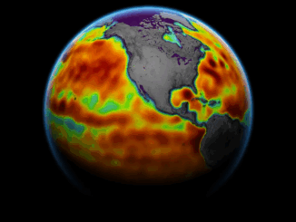
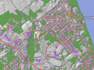
(This is the second part of our series, following the article exploring France’s success with open-source GIS) Canada’s geospatial systems are at a crossroads. Technology is moving fast, and the pressure is on for more efficient, […]