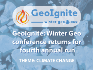
Technology
Examining greenhouse gasses from space
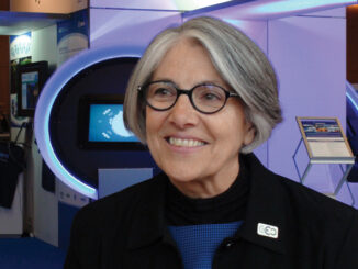
Barbara Ryan to continue discussions held at the UN on research findings In late 2019, Barbara Ryan, executive director of the World Geospatial Industry Council (WGIC), started tracking and mapping three greenhouse gasses from space. […]