Earth Observation
Turning Satellite Data into Impact: Five Canadian EO Projects Move to Next Phase
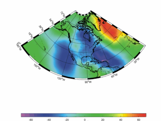
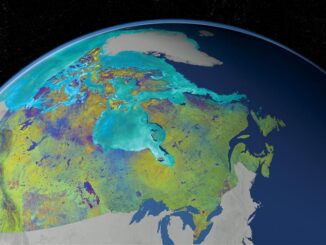
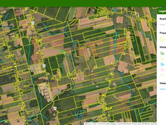
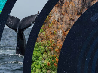
Satellite data is used in a wide range of fields, from climate change studies, maritime surveillance to the protection of ecosystems and biodiversity.In August 2023, through its Accelerating Earth Observation Innovations request for proposals, the Government of Canada invested […]