Indigenous Mapping
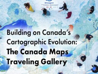
Building on Canada’s Cartographic Evolution: The Canada Maps Traveling Gallery
Mapping has a rich and storied tradition in Canada, reflecting the country’s diverse landscapes and complex geographic features. Indigenous peoples…
Canadian Geospatial Briefing July 4th: 1. Carbon soil mapping 2. MDA and NGO for combating illegal fishing 3. Indigenous mapping workshop 4. Deadly Skin Cancer map 5. Mapping Bicyclists’ Greatest Dangers
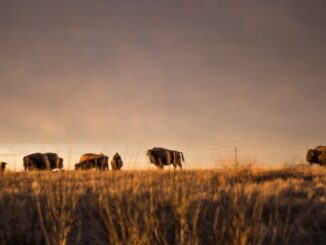
Carbon soil mapping project aims to help beef producers trap carbon, fight climate change “Our grassland soils hold large amounts…
Pioneer of Cybercartography and Indigenous Mapping Fraser Taylor Named to the Order of Canada
World renowned cartographer and Canada’s very own Prof Fraser Taylor has recently been honored with the Order of Canada, the…
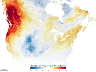
Canadian Geospatial Briefing July 5, 2021: Geospatial Applications for Indigenous Issues; Canadian Company Teledyne CARIS is Mapping the Seafloor; How SBEO is Helping Track Extreme Weather Events from Space; and Agriculture and Agri-Food Canada’s New Drought Forecast Tool
New Applications are Bringing Attention to Important Indigenous Issues June 2021 was a National Indigenous History Month like no other.…
GeoIgnite 2020 Video: Geospatial data & analytics advance issues critical to Indigenous communities in Canada: David Acco
GeoIgnite is Canada’s national geospatial conference hosted by GoGeomatics Canada. GeoIgnite was held online via Zoom from July 22nd to…
Your Canadian Geospatial Briefing for October 15th: Indigenous Mapping Conference Offers New Skills; Launch of Institute for Earth and Space Exploration; Teranet & Nearmap Announce Partnership; N.B Municipalities Using Tech To Make Their Cities Smarter
Indigenous Mapping Conference Offers New Skills Last week was the 6thannual Indigenous Mapping Workshop. This year’s event was in Inuvik,…