interactive dashboard
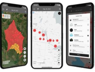
Canadian Geospatial Briefing August 2nd: Honouring Alex Trebek with new Grant Program; Interactive Map Looking at Marine Shipping Safety in Canada; New Canadian Wildfire App; Looking at Vulnerability from Heat Waves in Vancouver and Highlighting Importance of Green Spaces; A Collection of Canadian COVID-19 Dashboards
Alex Trebek honoured with Geographical Society grant program for emerging explorers The National Geographic Society in the United States and…
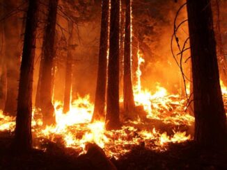
Canadian Wildfire Mapping Resources 2021 Fire Season
Western Canada has been experiencing extreme fire conditions following an intense heatwave since late June. According to BC Wildfire Service,…
Canadian Geospatial Briefing July 19th, Drone spraying research promising; B.C. wildfire map; Manitoba Infrastructure Projects Map; N.B. COVID dashboard; New database of P.E.I. trails maps
Drone spraying research promising Drone spraying would be ideal for touch-ups and misses in a field after a large sprayer…
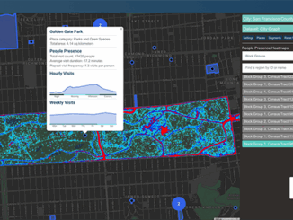
Your International Geospatial Briefing for August 17th: NZ Government investment in agritech; AWS unveils new space business segment; Measure local parks using geospatial data; Amazon rainforest cleared in July in Brazil; ESAIL Maritime Sat ready for launch
Government to invest $11.4 million in agricultural technology The New Zealand government undertakes investment in developing the country’s agritech sector,…