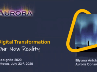
|||
Technology

Your International Geospatial Briefing for November 18th: Satellite InSAR Data used to detect massive size of North Korean Nuclear Testing; How GIS Makes IoT Data Come Alive; LiDAR: Promise and Challenge in Autonomous Vehicles; Bill Gates uses mapping tech to curb polio

Satellite InSAR Data used to detect massive size of North Korean Nuclear Testing Following the withdrawal of North Korea from the Non-Proliferation of Nuclear Weapons treaty over 15 years ago, a suspected underground hydrogen bomb […]

|||
Technology

Your International Geospatial Briefing for October 21st: How We Can Use Geospatial Tech for Good; AI: Cheat Sheet; In Chinese children’s film, anger grows over controversial map; What is openBIM and why is it important?; Making IoT More Intelligent with AI

How We Can Use Geospatial Tech for Good The winners of the most recent EthicalGEO Fellowship have been focusing on how geospatial tech and location data can be used for good, and not just targeted advertisement. The […]