Knowledge

Volunteer & Map Canada: Statistics Canada Crowdsourcing Pilot Project

Statistics Canada has launched a new pilot project using OpenStreetmap.  For  many Canadians outside of the geomatics community this is…

The Importance of Students & Young Professionals in Canada’s Geomatics Community

With the help of our sponsors GoGeomatics Canada is bringing students and young geospatial professionals together at 11 events from…

LiDAR in Canada: Conversation with Dr. Chris Hopkinson Research Chair Remote Sensing University of Lethbridge

The author Bob Maher (BM) and Chris Hopkinson (CH) both worked as scientists at the Appied Geomatics Reearch Group (AGRG)…

BCIT GIS student project Tetrad

Become a BCIT GIS Student Project / Practicum Sponsor

The BCIT GIS department has been graduating students for 25+ years.  Our students come from BC, but as well, across…

International Spatial Symposium in Quebec City: CAMUSS 2016

You are cordially invited to participate in the Second International Symposium on Cellular Automata Modeling for Urban and Spatial Systems…

Jessi Mielke Esri’s Certification Manager Chats About the Esri Technical Certification Program

For the last 6 months I’ve been writing articles and discussing my experience in regards to the Esri technical certification…

Canadian Institute of Geomatics Expands Executive Team with New VP Dr Brent Hall

Ottawa, August 16, 2016 – The Canadian Institute of Geomatics (CIG), the largest and most influential geospatial knowledge network in…

Canadian GIS Ambassador Program: Interview with Brent Hall, Director of Education & Research at Esri Canada

Interview with Brent Hall, Director of Education and Research at Esri Canada and, along with his staff, the initiator of…

University of Victoria Hosts Advanced Spatial Analysis Course

Is neighbourhood socioeconomic status associated with pediatric and childhood injuries? Are such injuries clustered in space? How can I model…

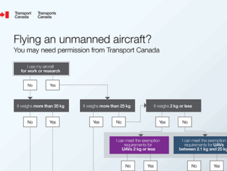
Transport Canada updates Canadian UAV Stakeholders

GoGeomatics got an interesting email this week about the proposed regulatory framework regarding UAVs from Transport Canada.  It’s really an…

Esri Technical Associate Certification: how I passed the test

A few months ago, I decided to obtain the Esri Associate certification for ArcGIS Desktop and wrote about my reasoning here. …

The Canadian Institute of Geomatics Brings Big Data to Ottawa

Last week I was among an interesting group of  participants and presenters who came together to discuss Big Data (June…