QGIS: Performing Viewshed Analysis on Archaeological Sites
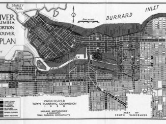
In 1927 a Vancouver bylaw was enacted that limited the height of buildings to a maximum of six stories in height over much of the West End of the city, as illustrated in the Zoning […]

In 1927 a Vancouver bylaw was enacted that limited the height of buildings to a maximum of six stories in height over much of the West End of the city, as illustrated in the Zoning […]

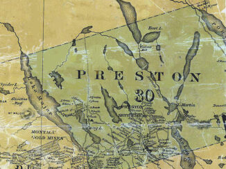
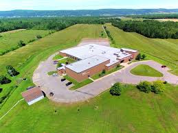
NSCC students make major impact in two small communities with huge historical significance Students at Nova Scotia Community College’s Centre of Geographic Sciences are combining their skills in geomatics with a desire to propel the […]

This article is also available in English. Cet article est la 2e partie de l’outil de versionnement des données géographiques à code source ouvert pour des environnements multi-contributeurs et il s’agit d’une entrevue de certains acteurs impliqués dans […]

Cet article est aussi disponible en français. This article is the 2nd part of GIS Open Source versioning tool for a multi-user Distributed Environment and it is an interview of certain stakeholders involved in this versioning open source development. […]

In my first article, I introduced the how and why I chose to attend COGS from the fall of 2014 to spring 2016. In Part 2, I wanted to give some insight into the first-year […]

2018 Canadian Hydrographic & National Surveyors Conferences March 26-29, 2018, Victoria B.C. Sponsor and Exhibitor Registration is now opened. You are invited to partner with the Canadian Hydrographic Association and the Association of Canada Lands […]

Editors note: This article has been jointly written by Nicolas Gignac, Dami Sonoiki (eHealth Africa) and Samuel Aiyeoribe (eHealth Africa). These authors would like to thank Yves Moisan, Vincent Mora (Oslandia) and Vincent Picavet (Oslandia) for their […]

Note des éditeurs : Cet article a été écrit conjointement par Nicolas Gignac, Dami Sonoiki (eHealth Africa) et Samuel Aiyeoribe (eHealth Africa). Ces auteurs aimeraient remercier Yves Moisan, Vincent Mora (Oslandia) et Vincent Picavet (Oslandia) pour leur support et […]