Linkin

Predicting the Future of the GIS in Canada

Editors note: This article has been jointly written by Bruce McCormack and Gordon Plunkett. Bios can be found at the…

Countdown to Launch: DigitalGlobe’s WorldView-4 Earth Imaging Satellite

Final preparations are underway at Lockheed Martin to ship DigitalGlobe’s WorldView-4 earth imaging satellite to Vandenberg Air Force Base for…

All the Geomatics Acronyms You Wanted to Know but were Too Afraid to Ask

Here in Canada, there are many geomatics acronyms that get tossed around. During the recent “Team Canada” event that the…

Having Problems Finding GIS Work? Try Moving Out West..

The Geospatial Siren Call of  Western Canada My name is Aubrey and I’m a GIS Graduate who used to live…

GoGeomatics Awarded Contract: Maintenance of Canada’s Largest Enterprise GIS

‘Twas the week before Christmas and GoGeomatics has been called in to assist one of the largest non-profit clients in…

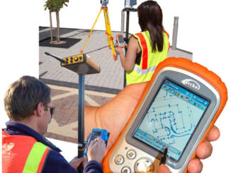
Surveying and CAD: Add GIS, Stir and Serve

When Jon Murphy asked me to write something about ‘Surveying and CAD’ this month I thought, “no problem, when do…

Canada’s Arctic: Spatial Info/Geotech Opportunity

Canada’s north has always been a challenge to those living there and to geoscience professionals alike. The sheer size of…

Darin Brooks: GIS Instructor, College of the North Atlantic

GoGeomatics: Welcome to the GoGeomatics Canada community. To get started can you tell us about where you are from and…