Community
GoGeomatics 2015 Back to School Socials: Over 350 Participants Coast to Coast
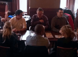
The 2nd annual GoGeomatics 2015 Back to School Socials have been a tremendous success. Last year we had 200 participants and we thought that was huge. This year we almost doubled that with 365 participants. […]