Technology
Polar Region Seafloor Mapping
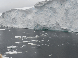
Why Seafloor mapping? A picture is worth a thousand words. Similarly, mapped information is the visual representation of raw data. Generally speaking, seafloor mapping presents unique challenges that are not seen when mapping land. Due […]