Community
Canadian Geospatial Digest – May 26, 2025
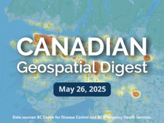
Mapping Canada’s PFAS Hotspots: A CBC Interactive Map Dokis First Nation: Drones and Land Management McGill Study Reveals Increased Earthquake Vulnerability for Marginalized Communities Optimizing Naloxone Kit Placement in Vancouver Canada’s HAWC Mission Opens New […]