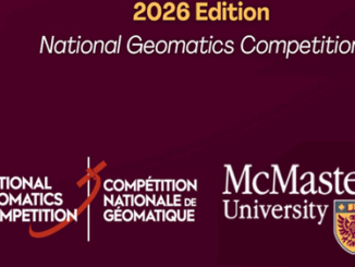
|||
Technology

Canadian Geospatial Briefing Nov 29: 1. Mapping Canada’s carbon landscape; 2. Satellite images of Flood in BC; 3. Royal Canadian Geographical Society awards; 4. High-speed internet for rural communities by asset-mapping; 5. Plant health beyond the naked eye

Mapping Canada’s carbon landascape WWF-Canada has conducted new research with the lead of McMaster University’s Remote Sensing Lab scientists to measure the stored amount of carbon in Canada’s landscape. The findings show that stored carbon […]

||||
Technology

Canadian Geospatial Briefing for November 9th: McMaster historical map conservation; Underwater acoustic gliders for whale detection; New satellites to track space debris; Microsoft Azure powers regenerative agriculture; Multi-parties’ drone research; Driverless shuttles take road tests

Newly conserved rare map provides unique snapshot of life in 19th century Ontario https://brighterworld.mcmaster.ca/articles/newly-conserved-rare-map-provides-vivid-snapshot-of-life-in-19th-century-ontario/ McMaster University Library’s Preservation Lab conservators using new, experimental techniques to combat the challenges of wood pulp paper map conservation and […]