Technology
CCMEO’s Elevation Data Revolution: Part 2 – ArcticDEM development
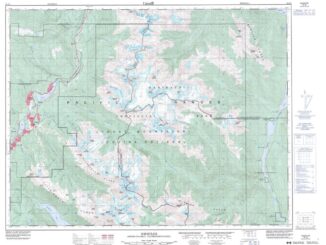
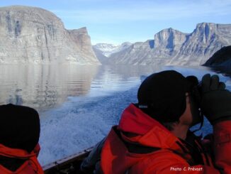
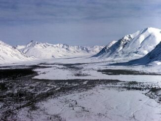
With more than 4 million km² of land above the 60th parallel, Canada has one of the largest Arctic regions on Earth. For decades, NRCan’s Canada Center for Mapping and Earth Observation (CCMEO) has offered […]