observation
Montreal: Final call for Special Sessions Earth Observation Summit 2017
The Earth Observation (EO) Summit 2017 brings together in one exceptional event the 38th Canadian Symposium on Remote Sensing (CSRS),…
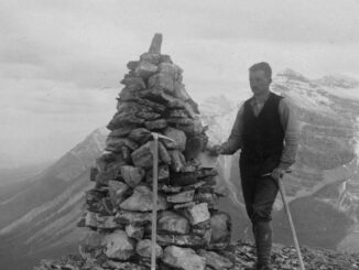
Canadian Surveyors “Remark” on History with Elk Pass Boundary Restoration Survey
The Alberta-British Columbia Boundary Commission has just completed a monument restoration survey to restore a number of deteriorated provincial boundary…
DigitalGlobe’s Basemap Suite Expands: 250 Million Square Kilometers of 30 cm Imagery
DigitalGlobe, Inc. (NYSE: DGI), the global leader in Earth imagery and information about our changing planet, today announced that its…
CCMEO: GeoConnections Funding Geomatics Projects for 2016-2018
For this announcement, GeoConnections is focusing funding towards projects that address the following themes: -Innovative adoption and further development…
Fall Reading in Canada: landscape, language, geography
Last week, I picked up a copy of Robert MacFarlane’s ‘Landmarks’. I had read all of his previous works and…
Day of Geography 2016
Monday, November 14, 2016 marks the third annual Day of Geography, presented by Geospatial Niagara, Canada’s contribution to Geography Awareness…
Earth Observation Represents a $43 Billion Opportunity Over Next 10 Years
NSR’s Satellite-Based Earth Observation (EO), 8th Edition report, released yesterday, projects data, value-added services, information products, and big data analytics…
How Canadian Remote Sensing Was Made Commercially Successful & Exportable
This piece started as a note on some of my experience as an international consultant in remote sensing specifically and…
Open Geospatial Consortium adopts the OGC SensorThings API as an official standard
The Open Geospatial Consortium (OGC®) has adopted SensorThings API Part 1: Sensing as an official standard. The OGC SensorThings API…
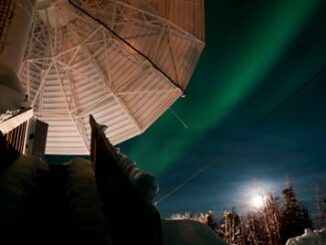
Canada Takes Part: Arctic Spatial Data Infrastructure Meets in Anchorage
The Arctic SDI Board, which includes mapping executives from Canada, Kingdom of Denmark, Finland, Iceland, Norway, Russia, Sweden and the…
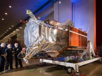
Countdown to Launch: DigitalGlobe’s WorldView-4 Earth Imaging Satellite
Final preparations are underway at Lockheed Martin to ship DigitalGlobe’s WorldView-4 earth imaging satellite to Vandenberg Air Force Base for…
Airbus Defense And Space Signs Deal with Vancouver’s 3v Geomatics
Airbus Defense and Space and 3v Geomatics Inc. (3v Geomatics) signed a multi-year agreement that will provide 3v Geomatics with…