observation
MDA delivers maritime surveillance system using RADARSAT Constellation Mission
Richmond, BC – MacDonald, Dettwiler and Associates Ltd. (“MDA” or the “Company”) (TSX: MDA), a global communications and information company,…
The Canadian Institute of Geomatics Brings Big Data to Ottawa
Last week I was among an interesting group of participants and presenters who came together to discuss Big Data (June…
NetCDF: a growing standard for encoding georeferenced data in binary form
Recently, the Open Geospatial Consortium (OGC) has announced an extension to the OGC CF-netCDF 3.0 encoding standard that specifies how…
An API for the World’s Weather & Climate Data
Planet OS is excited to announce the launch of our first API designed specifically for geospatial and Earth observation data.…
Remembering Roger Tomlinson & Early History of GIS in Canada
It’s two years now since Roger Tomlinson passed away. Roger’s and my career path have crossed several times over the…
PCI Geomatics User Group Meeting Shows Promising New Features and Dedication to Customers
On February 4th, PCI Geomatics held their Annual User Group Meeting in Ottawa, Ontario. There was a high turnout, with…
June Seo: Geomatics Engineering Student at NAIT & GoGeomatics Edmonton Group Leader
GoGeomatics Canada is pleased to introduce June Seo to the community. She is one of the great new group leaders…
A Refreshing Approach to Geomatics
The conference committee of the GIM International Summit has announced a refreshing list of inspiring and original speakers who will…
Geomatics: Discovering history in Canada’s Arctic waters
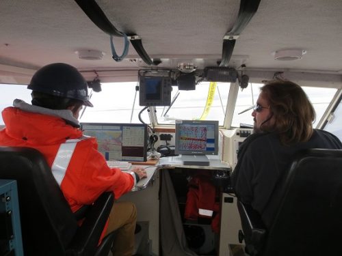
This article was reprinted with permission from the Ontario Professional Surveyor, Volume 56, No. 3, Summer 2015 By Theresa Nicholsi,…
Ottawa CCRS Speaker Series: The Halifax air photo mission of 1921 post-WW1 air surveys in Canada
Mr. Dirk Werle, Partner / Geoscientist, Ærde Environmental Research, Halifax Date: Friday, November 13, 2015 Time: 10:30 – 12:00 Location:…
DigitalGlobe Expands Partnership with Mapbox to Provide Access to 30 cm Imagery Basemaps
DigitalGlobe, Inc. (NYSE: DGI), a leading global provider of commercial high-resolution earth observation and advanced geospatial solutions, today announced an…
Beyond the Outer Shores
For over fifty years, the islands off the coast of British Columbia and Alaska have been called ‘the outer shores’.…


