Technology
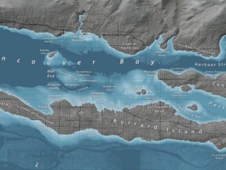
Mapping the Deep: Our map of the ocean remains a work in progress
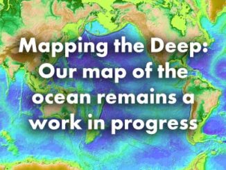
These days, when you look at Google Maps, Google Earth, or other web maps you are probably left with the impression that most of the world’s ocean is well mapped. You can see large mid-ocean […]