Other
Advancing Open-Source GIS: QGIS User Conference 2025 Recap
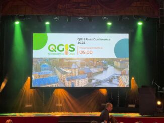
The QGIS User Conference held June 2-3 brought together open-source GIS users and developers at Linköping University in Norrköping, Sweden. The QGIS User Conference is an annual gathering of GIS Professional and other QGIS users to […]