Public Health
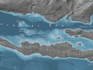
Canadian Geospatial Briefing Oct. 4th: Netflix Canada map; Lim Geomatics; accurate COVID-19 mapping; BC rising sea-level maps; Apple Maps in Canada; rural open data event
Netflix Canada launches website showing its filming locations across the country Netflix in Your Neighbourhood will allow users to search for…
International Geospatial Briefing May 3: Growing problem of deepfake satellite images; Bird migration map shows huge influx into Michigan; Google Earth timelapse visualizes human footprint; Remote Sensing to study chimoanzees; Mapping of childhood undernutrition in India
False satellite images created by machine learning raise concerns about the reliability of data AI technologies has been used to…
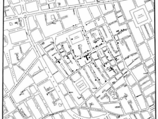
The Evolution of Mapping Disease
The current pandemic is highlighting how important GIS is in understanding and interpreting data. History shows the evolution of GIS…
Your Canadian Geospatial Briefing for Sept 22: First woman to head CSA; Polar Bears’ GPS Collars Reveal Hidden Histories; Data Crisis in Covid-19; What Would The Impact of the Beirut Explosion Look Like on Maps of Canadian Cities; Should You Get a GIS Certification?
Lisa Campbell becomes the first woman to head the Canadian Space Agency – CBC The Government of Canada announced earlier…
Using GIS to study health care services and utilization––from local to national
Access to timely and quality health care is an important determinant of health and well-being. Despite universal health coverage in…
GIS Open Source versioning tool for a multi-user Distributed Environment (part 2)
Cet article est aussi disponible en français. This article is the 2nd part of GIS Open Source versioning tool for a multi-user Distributed…
GIS in Public Health: Kingston GoGeomatics Social Thursday, January 19
Free GIS & Public Health Talk in Kingston Thursday, January 19, 2017 6:00 PM Sir John A Public House 343…
Easy Access to Data: The CGDI Initiative
The Canadian Geospatial Data Infrastructure (CGDI) is an initiative of Natural Resources Canada that began in 2001. The CGDI does…
It’s a Geospatial world we live in: Find Your Happy Place
When does a space become a place? There are a myriad of small open spaces and buildings throughout towns and…
International Spatial Symposium in Quebec City: CAMUSS 2016
You are cordially invited to participate in the Second International Symposium on Cellular Automata Modeling for Urban and Spatial Systems…
Professional Certification: Population Health Data Analysis in British Columbia
Population health research is inherently interdisciplinary, multifaceted and firmly rooted in the evolving connections between place, time and related socioeconomic…
Celebrating GIS Day at Carleton University
GIS Day is November 19, and GoGeomatics is looking forward to participating in this global celebration at Carleton University’s GIS…