Earth Observation
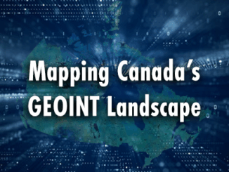
Mapping Canada’s GEOINT Landscape
Geospatial Intelligence (GEOINT) is a cornerstone of modern decision-making, supporting defence, environmental resilience, and public safety. Canada, with its vast geography and unique challenges—from Arctic sovereignty to climate-driven disasters—relies heavily on GEOINT to address both […]