release

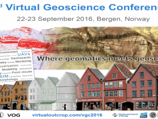
Conference: Where Geomatics Meets GeoScience

With now only one month to go until the 2nd Virtual Geoscience Conference (VGC 2016) takes place in Bergen, Norway,…

Earth Observation Represents a $43 Billion Opportunity Over Next 10 Years

NSR’s Satellite-Based Earth Observation (EO), 8th Edition report, released yesterday, projects data, value-added services, information products, and big data analytics…

Geoscience BC Launches Largest Airborne Magnetic Survey in its History

Vancouver, BC — Geoscience BC announced the launch of its largest airborne magnetic survey to date — the Search Phase…

Canada Takes Part: Arctic Spatial Data Infrastructure Meets in Anchorage

The Arctic SDI Board, which includes mapping executives from Canada, Kingdom of Denmark, Finland, Iceland, Norway, Russia, Sweden and the…

Geospatial Niagara: Day of Geography, ihub, Geoparks, TreeOcode, & St. John’s Declaration

It’s hard to believe that it’s been over a year since my post introducing Geospatial Niagara to GoGeomatics Canada readers.…

Making a Crow Attack Web Page With Open Source GIS Tools

Of all the pleasant events that happen in spring, crow attacks rank at the bottom of the pile. Crows become…

MDA delivers maritime surveillance system using RADARSAT Constellation Mission

Richmond, BC – MacDonald, Dettwiler and Associates Ltd. (“MDA” or the “Company”) (TSX: MDA), a global communications and information company,…

Postal Codes: Canada Post Backs Down on Crowdsourced Open Data

Have you ever felt the wrath of a Canadian Crown Corporation? In 2011 Canada Post set its sights on Ervin…

Ted MacKinnon New President of The Geomatics Association of Nova Scotia (GANS)

The Geomatics Association of Nova Scotia is a small non profit professional organization in Nova Scotia that foster the application of geomatics…

eyesMap3D: The most accurate and powerful 3D photo modeling software

Global based technology company eCapture announced today the launch of its versatile and intuitive software eyesMap3D, to generate accurate 3D…

NetCDF: a growing standard for encoding georeferenced data in binary form

Recently, the Open Geospatial Consortium (OGC) has announced an extension to the OGC CF-netCDF 3.0 encoding standard that specifies how…

Canadian Municipalities Unlock Their Data with Esri’s ArcGIS Open Data

TORONTO—April 25, 2016—Esri Canada today announced that more than 20 Canadian municipalities have adopted ArcGIS Open Data.  Esri’s cloud-based geographic…