Remote Communities
Canadian Geospatial Digest for February 26th, 2024
Bridging the Gap: GIS Solutions for Remote Communities in British Columbia Ottawa’s Virtual Twin: A Deep Dive into the Creation…
Canadian Geospatial Digest for February 12th, 2024
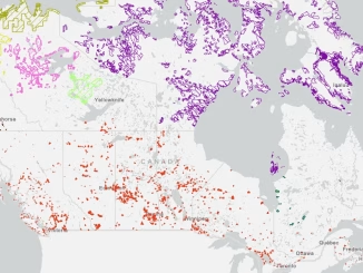
Laurier Professor Charts Northern Ice Roads A Laurier professor pioneers the mapping of northern ice roads, crucial lifelines in remote…
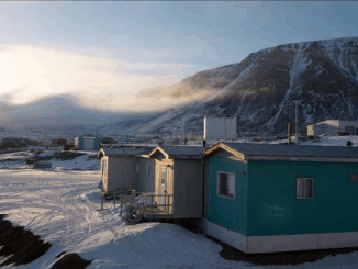
How remote are remote communities?
This is a fascinating question. However, none of us have ever empirically addressed this query. What is it that decides…
Canadian Geospatial Briefing February 16th – A new app for neighbourhood environmental health; Kongsberg Geospatial horizonless air picture; Evictions Ontario map; people cry at University of Waterloo; Canadians can now get Space X Starlink internet
A new app from U of T researchers allows users to track their neighbourhood’s environmental health Researchers at the University…
5th Pan-Canadian Spatial Data Infrastructure (SDI) Summit
The theme of this year’s summit is “Responding to the Needs of Northern and Remote Communities”. Limited infrastructure in Northern…