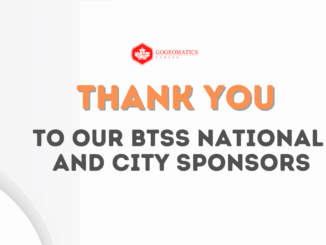
|||||
Technology

International Geospatial Briefing July 25: 1. GIS data to draw up risk assessment maps for dengue and chikungunya; 2. Europe and the U.S. Temperature Maps; 3. Europe Wildfire Maps; 4. Siemens partners with GIS software provider to level up grid planning; 5. Seattle tsunami predictive mapping

GIS data to draw up risk assessment maps for dengue and chikungunya Dr S Sabesan, an adjunct professor at the Vector Control Research Centre, has been using several parameters with satellite data to make time […]

||
Technology

Canadian Geospatial Briefing May 30th: 1. GHGSat Joins ESA’s Third Party Mission Programme, 2. Time Traveller Interactive Tool, 3. BC Climate Change Vulnerability Map, 4. Mississauga’s Photo Radar Speed Camera Locations

GHGSat Joins ESA’s Third Party Mission Programme Methane may not be as abundant in the atmosphere as carbon dioxide, but with a global warming potential around 84 times greater than carbon dioxide, monitoring and controlling […]