remote sensing
International Geospatial Briefing October 3rd
1. Climate change is making lakes less blue 2. Next Gen Unicore Communications GNSS available through Rx Networks 3. Participatory…
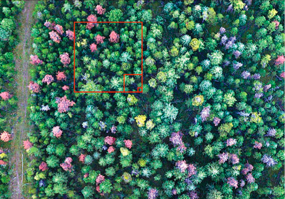
Mountain Pine Beetle Monitoring and The Lumber Industry
Mountain Pine Beetle Monitoring and The Lumber Industry North America’s forests are a fundamental ecosystem that not only house important…
GoGeomatics is proud to be an INTERGEO 2022 Media Sponsor!
We are so excited to be a media sponsor for INTERGEO 2022! Jonathan Murphy, Managing Director at GoGeomatics and Gavin…
MGEM Interview with Kathleen Coupland, Coordinator for UBC Forestry’s Professional Masters Programs
GoGeomatics: What is the MGEM Program? (When did it first start, where is it, when did it start, what is…
Final Sponsors announced for GoGeomatics Canada Back to School Socials 2022
GoGeomatics Back to School Socials are happening this September! Join us and the Canadian geospatial community as we welcome new…
Hyperspectral imagery applications in mineral exploration
Remotely sensed data has been providing insights into how the world works for decades now. From the first implementation of…
International Geospatial Briefing for August 22nd, 2022
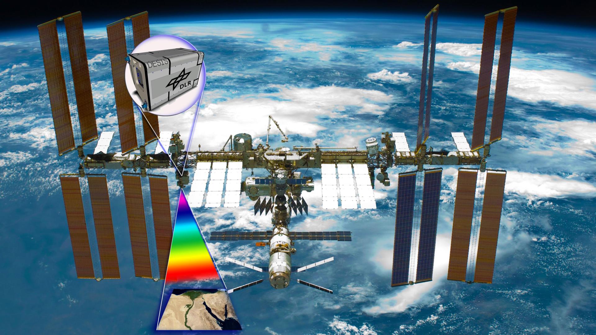
Mapping Earth’s deepest points, the collision of Geology and Geospatial ISS to get a new hyperspectral remote sensing lab A…
International Geospatial Briefing July 25: 1. GIS data to draw up risk assessment maps for dengue and chikungunya; 2. Europe and the U.S. Temperature Maps; 3. Europe Wildfire Maps; 4. Siemens partners with GIS software provider to level up grid planning; 5. Seattle tsunami predictive mapping
GIS data to draw up risk assessment maps for dengue and chikungunya Dr S Sabesan, an adjunct professor at the…
International Geospatial Briefing July 11th: 1. Quarter of Earth’s Seafloor Mapped; 2. Seabed Mapping App; 3. NOAA Joins Effort to Map Ocean Floor; 4. UN Satellite Centre and NVIDIA Boost Sustainable Development Goals; 5. Geospatial Workforce Challenges; 6. Digital mapping settlements in the pre-Columbian Amazon
Nearly a quarter of Earth’s seafloor now mapped The Seabed 2030 project aims to have the entire earth’s seafloor mapped…
CHORUS Constellation Evolutionalizes How We Understand Climate Change
“CHORUS will evolve our understanding of climate change” CHORUS, MDA’s commercial Earth observation mission and a collaborative multi-sensor constellation, is…
Sparkgeo Uses a Geospatial Lens to Look at Earth’s Issues on a Planetary Scale
Cadell Asks Us To Rescale Our Way of Thinking The keynote speaker for GeoIgnite, Winter Geo conference on March 2,…
International Geospatial Briefing – June 6th, 2022: 1. Largest-ever imagery contract handed out by National Reconnaissance Office 2. Are Maps the next big medium? Felt is betting on it 3. Xona’s private GNSS passes critical tests on path to launch 4. New US school shooting map in wake of Texas tragedy 5. Geospatial and the problem of too much climate data
Largest-ever imagery contract handed out by National Reconnaissance Office A new announcement out of the National Reconnaissance Office in the…


