remote sensing
Canadian Geospatial Digest May 15th, 2023
Canada’s Efforts to Protect Southern Resident Killer Whales Mapped Saving Roads by Restoring Wetlands Ottawa Bike Maps Mapping Ontario’s High-Speed…
44th CSRS: Remote Sensing For A Resilient Future Monitoring Our Dynamic Environment
For 2023, the 44th Canadian Symposium on Remote Sensing will be co-hosted by the University of Lethbridge and the…
Celebrating Earth Day with Conventional and Unconventional Applications of Geospatial Technology: Part 2
3 Unconventional Earth-friendly Applications of Geospatial Technology After talking about some of the more conventional methods of implementing geospatial technology…
Ten Years Later: Interview with Wendy MacIsaac one of Canada’s Top Surveyors
Ten years ago, GoGeomatics interviewed Wendy MacIsaac of Midwest Surveys Inc. in Calgary, Alberta, about her career and being a…
Canadian Earth Observation: Call for Sponsors, Speakers, & Workshops EOCANEX 2023!
Join GoGeomatics on June 20, 2023, for EOCANEX! The Canadian Earth Observation Expo, or EOCANEX, is an online GeoIgnite event…
GoGeomatics Picks the Most Important International Stories of 2022
Zalak’s Pick: Vodafone’s New 3D Digital Twin Aids Engineers Farzaneh’s Pick: UAVs Uncover Italy’s Hidden History George’s Pick: Satellite Imagery…
Becky Morton, President and CEO of GeoWing Mapping, Inc. on International Women’s Day
Supporting International Women’s day, I spoke with Becky Morton who is the President and CEO of GeoWing Mapping, Inc. as…
GoGeomatics Expo Calgary 2023: Canada’s Geospatial and Location Tech Expo Is Coming!
GoGeomatics Canada wants to invite you to the GoGeomatics Expo, Canada’s Geospatial and Location Tech Expo, in Calgary, Alberta, Canada, this November…
Canadian Geospatial Digest February 20th, 2023
City of Guelph chosen Canadian city to lead development of next-generation emergency services database First Nations say traditional knowledge should…
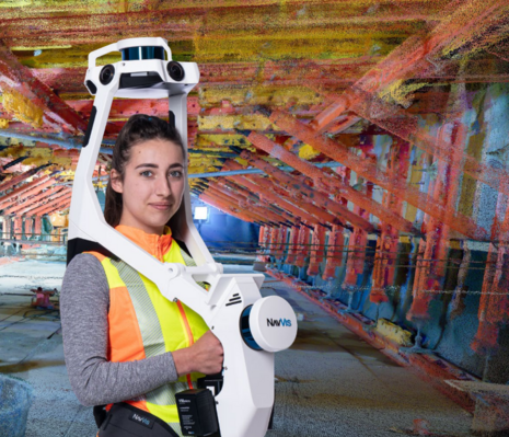
NavVis’ Exciting Addition to Canadian Surveyors’ Toolkits
New geomatics tech is always exciting when I come across it. So, it was doubly exciting to me that GoGeomatics…
Canadian Geospatial Digest December 5, 2022
Airport Uses LIDAR in Award-Winning Project A New Map For The Salish Sea $4.8 Million to McGill for Climate Change…
Canadian 2021-22 Geospatial Pandemic Survey: The results are in
The results of the GoGeomatics pandemic survey ready to be revealed. What difference a year makes? Who did GoGeomatics Survey?…


