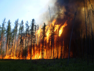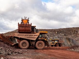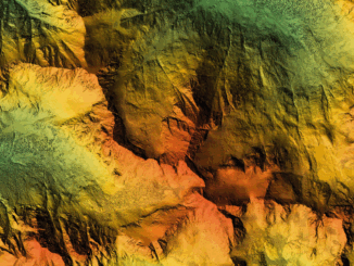
Earth Observation
GHGSat Becomes First Canadian Company to Join the International Charter: Space and Major Disasters as a Data Contributor
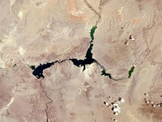
Montreal-headquartered GHGSat, the global leader in emissions monitoring technology, has become the first Canadian company to join the International Charter: Space and Major Disasters as a data contributor, providing its data as part of a […]