rtk
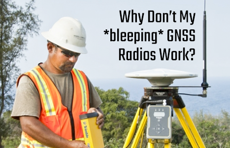
Why Don’t My *bleeping* GNSS Radios Work?
GNSS RTK base and rover radios can be complex to work with, and sometimes a source of frustration. A new…
EMLID Joins the GoGeomatics Expo in Calgary
We are delighted to share that EMLID is part of the exhibitor lineup at the forthcoming GoGeomatics Expo, scheduled for…
The GoGeomatics Expo welcomes Topotrade to the Trade Show
Topotrade joins the GoGeomatics Expo in Calgary November 6-8th, 2023. In this digital era, Topotrade gathers accurate used equipment from…
Augview Brings Subsurface Utility Mapping to Life in Real Time
Augmented Reality brings benefits and technical challenges to the world of utility mapping. Michael Bundock, CEO and Founder of Augview…
Take the Canadian Geomatics Survey: Pan-Canadian Positioning, Navigation & Timing (PNT) Strategy
Canadian Geodetic Survey The Canadian Geodetic Survey (CGS) is developing a plan to expand its Positioning infrastructure and services. The…
UAV Surveys – How to Ensure Accuracy and Precision
For the past four years, I’ve been involved with the capture and delivery of data derived from drones. My experience…
COGS NSCC students use Geomatics to explore the history of Black Loyalists & Joggins Fossil Cliff
NSCC students make major impact in two small communities with huge historical significance Students at Nova Scotia Community College’s Centre…
Low-cost Feature-Rich RTK Receiver
SkyTraq Technology, a Taiwanese GNSS positioning technology company, introduces S2525F8-RTK, a low-cost, low-power, single frequency RTK receiver for applications requiring…
Wanted – A GNSS Puck
“I want it! I want it! I want it!” – “Magic Bus” – The Who The Glass Floor. There is…
Prince George BC: Lidar / GPS Terrain Modelling for Ice Jam Emergency Response
Unprecedented ice jams led to extensive flooding in Prince George as temperatures dipped to record lows in the winter of…
Wendy Innes: Survey Crew Chief / Geomatics Technician
We would like to introduce Wendy Innes, a graduate of Marine Geomatics program at COGS to help better explain and…
Jean-François Dionne – Senior Geomatics Specialist at WESA Group Inc in Ottawa
The first GoGeomatics Canada interview for February is with Jean-François Dionne. He is the Senior Geomatics Specialist at WESA Group…


