safety

Measurement Sciences Joins Expo

Measurement Sciences Inc. (MSI) joins the GoGeomatics Expo

GoGeomatics Expo Welcomes Measurement Sciences Inc. (MSI) is a professional engineering and land surveying company based in Calgary, founded in…

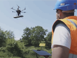
Skipper NDT Uses Drone to Make Pipeline Maintenance Quicker, Safer, and More Precise

The drone-based platform covers the blind spot in current technology. Skipper NDT Co-founder and COO, Luigi Kassir, spoke on locating…

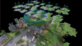
TopoDOT Compares Data and Applications of UAV and LiDAR Point Cloud

On April 5, 2022, LiDAR COMEX 2022 held a live stream presentation on “data comparison and applications of UAV imagery-based…

Five Things you Can’t Do with a UAV or Drone In Canada

UAVs(Unmanned Aerial Vehicles) or drones are quickly becoming one of the technological wonders of the multifaceted twenty-first century. UAV’s are…

One of the Best Geomatics events in Canada: GeoAlberta 2017

I had a chance to attend the 2017 GeoAlberta conference earlier this month in Calgary, Alberta. This was my first…

Toronto & Calgary: Federal Floodplain Mapping Workshop March 28th & 30th

The Federal Floodplain Mapping Guidelines workshop, hosted by Canadian Water Resources Association (CWRA) on behalf of the Government of Canada,…

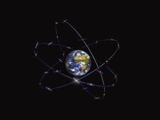
New Galileo navigation system is experiencing clock failures

  Since December 15, 2016, the new Galileo global satellite navigation system has been up and running. Unfortunately, there are…

Predicting the Future of the GIS in Canada

Editors note: This article has been jointly written by Bruce McCormack and Gordon Plunkett. Bios can be found at the…

Easy Access to Data: The CGDI Initiative

The Canadian Geospatial Data Infrastructure (CGDI) is an initiative of Natural Resources Canada that began in 2001. The CGDI does…

NB 911 Bureau Receives Esri Canada Award of Excellence in GIS

FREDERICTON, Esri Canada User Conference – October 25, 2016 – Esri Canada today presented the NB 911 Bureau, a branch…

DigitalGlobe’s Basemap Suite Expands: 250 Million Square Kilometers of 30 cm Imagery

DigitalGlobe, Inc. (NYSE: DGI), the global leader in Earth imagery and information about our changing planet, today announced that its…

UAVs in Canada – Key Exposures to Loss and Ways to Protect Yourself

This article was written by Mark Sampson for the Association of Ontario Land Surveyors. Mark’s contact details are at the…

1 2 3 7