Satellite imagery
NRCan, GeoConnections, CGDI, & the Canadian Geomatics Round Table
GoGeomatics Canada got in touch with Natural Resources Canada (NRCan) in order to ask them about all the most recent…
Amy Mui: High-Resolution Multispectral Satellite Imagery for Identifying Turtle Habitats
Amy Mui was not always in the geomatics industry. Beginning in wildlife biology, she now is a PhD candidate with…
Canadian Women in Geomatics for International Women’s Day 2013 : March Segment
GoGeomatics Canada is pleased to announce our second annual segment in honour of International Women’s Day on March 8, 2013.…
Evaluation of the Data BC Portal, GIS Section
The province of British Columbia (B.C.) recently revised their portal. The main page offers a number of services to the…
Measuring Tree Canopy Cover in an Urban Environment
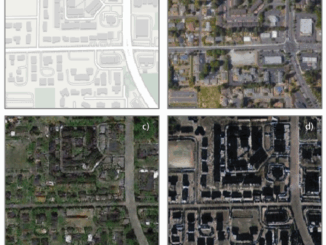
To properly and effectively design and manage the city’s tree canopy it is important to quantify the amount and composition…
Dr. Robert ‘Bob’ Ryerson: A Canadian Geomatics Perspective on our Industry and Future
GoGeomatics has had the pleasure of speaking with Dr. Robert ‘Bob’ Ryerson of KIM Geomatics Corporation. Along with his…