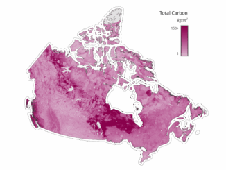
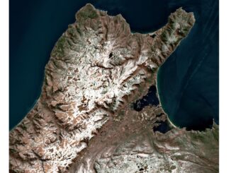
|||||
Technology

International Geospatial Briefing June 28th, 2021: Record High Ground Temperatures in Siberia; Digital Divide across the United States; Mapping more than 20% of the Ocean Floor; Tracking Bird Migration; Analysis of Toshka Lakes in Egypt

Ground Temperatures Hit 118 Degrees in the Arctic Circle During the recent heatwave in Siberia ground temperatures reached 118 degrees Fahrenheit (48 degrees Celsius) as seen by satellite imagery. The Copernicus Sentinel satellites were able […]

|||||
Technology

Canadian Geospatial Briefing February 16th – A new app for neighbourhood environmental health; Kongsberg Geospatial horizonless air picture; Evictions Ontario map; people cry at University of Waterloo; Canadians can now get Space X Starlink internet

A new app from U of T researchers allows users to track their neighbourhood’s environmental health Researchers at the University of Toronto have created a new app that provides insights into the environmental health of […]

||||
Technology

Canadian Geospatial Briefing for November 9th: McMaster historical map conservation; Underwater acoustic gliders for whale detection; New satellites to track space debris; Microsoft Azure powers regenerative agriculture; Multi-parties’ drone research; Driverless shuttles take road tests

Newly conserved rare map provides unique snapshot of life in 19th century Ontario https://brighterworld.mcmaster.ca/articles/newly-conserved-rare-map-provides-vivid-snapshot-of-life-in-19th-century-ontario/ McMaster University Library’s Preservation Lab conservators using new, experimental techniques to combat the challenges of wood pulp paper map conservation and […]