Education & Careers
Ottawa April 29th: Geospatial Career & Job Hunting Seminar
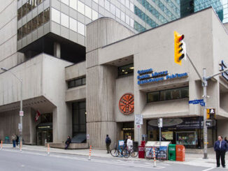
Saturday: April 29th – 9:15 AM Ottawa Library, Main Branch Basement Conference Room 120 Metcalfe, Ottawa, Ontario We will be in the basement meeting room Price: CAD55.00per Person Email: [email protected] to get your ticket. You […]