Education & Careers
Geomatics & GIS Education: University VS. College
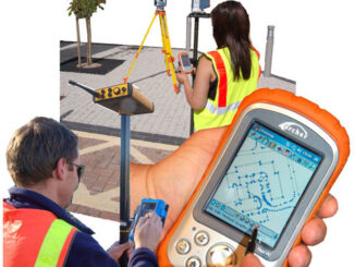
Looking back almost five years ago, if I had been asked, my opinion would be that college is a place where you go if you cannot get into university. So it seemed, anyways. Being asked […]