SWIR

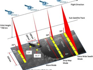
Free Satellite Imagery For You: Sentinel 1 & 2

Sentinel constellations and data products As the ENVISAT program is coming to an end, the European Space Agency has begun…

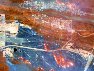
Seeing Through Wildfire Smoke in Fort McMurray, Alberta with Infrared Imaging

Images of the massive wildfire that engulfed Fort McMurray, Alberta earlier this year have been seared into our collective consciousness.…

A Breakdown of the NRCan 2014 Geomatics Country Report of Canada for the United Nations

Last year GoGeomatics brought our readers up to date on the 2012 country report from NRCan to the United Nations.…

First images taken with Exelis system on DigitalGlobe’s WorldView-3 satellite released

DigitalGlobe has released the first images taken with the Exelis-built (NYSE: XLS) integrated, super-spectral imaging system on the WorldView-3 satellite,…

New Crown Forest Policy Drives $16.8 Million Investments in the Forests, Mills and Suppliers – 74 Jobs Created

ST. LEONARD, NB, April 7, 2014 /CNW/ – J.D. Irving, Limited (JDI) announced today that it will invest $16.8 million…

Extraterrestrial Geomatics: An interview with Dr. Nancy McKeown

I recently interviewed Dr. Nancy McKeown, who in 2010, gave a talk at the SETI Institute entitled: What Clays Can…

GIS in Canadian Education Still Needs Advocacy

In 1995 I was your typical teacher with a degree in geography. I had gotten involved in technology in education.…