Community
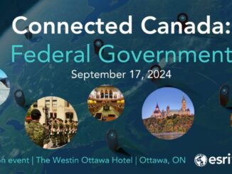
Reflections on Esri Canada’s Connected Canada Event in Ottawa
Hello, GoGeomatics community! I’m Farzaneh, and I’m excited to share some key highlights from the Connected Canada event, held on September 17, 2024, for the Federal Government at the Westin Hotel in Ottawa, hosted by […]

