Newsmakers & Press Releases
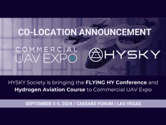
HYSKY Society to co-locate with Commercial UAV Expo in 2024
New strategic collaboration brings the world’s largest hydrogen aviation conference to the leading commercial drone event Portland, Maine – March 13, 2024 – Organizers of Commercial UAV Expo have announced a strategic collaboration to bring […]