urban design
Surveillance Camera Applications with the Urban Digital Twin
With populations expanding along with the dire need to maximize the efficient use of urban space, urban digital twins act…
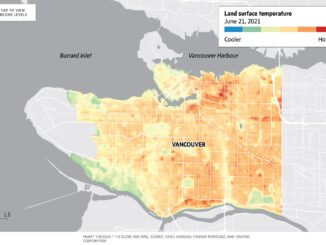
Using Geospatial Technology to Pinpoint Canada’s Hottest Neighbourhoods
Heat waves are seemingly becoming more intense and more dangerous for vulnerable populations. GIS has helped to pinpoint the hottest…
Canadian Geospatial Digest for August 15, 2022
Apple Maps is Coming to Your City this Summer, Satellites show World’s Largest Beaver Dam, Who lives in Canada’s Hottest…
Covid-19 and the Effects on Urban Lifestyle
Covid-19 caused rapid changes to people’s lifestyles. Travel, trade, and social space are a few topics, among many, changed by…
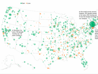
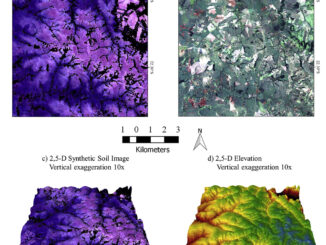
International Geospatial Briefing March 8th: Geography, a cause for inequality; Drone Survey of a Wind Farm Access Road; Loss of soil study using satellite imagery; Japanese noisy children map; Minority-owned businesses map
Geography can become a root cause for inequality when cities are built in a way that fragments social networks A…