Community
International Geospatial Digest June 16, 2025
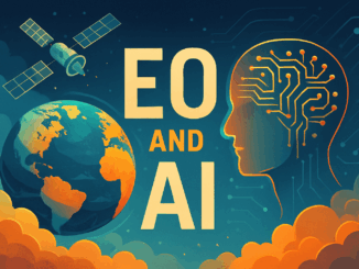
AI Foundation Models for Earth Observation: A New Chapter in Geospatial Intelligence FAO’s upgraded ABC-Map warns of a sharp decline in Crop Suitability by 2100 Real-Time GIS Dashboards Revolutionize Emergency Response GlobalBuildingAtlas: First Complete Open […]