user
EMSA expands use of RADARSAT-2 information for maritime applications
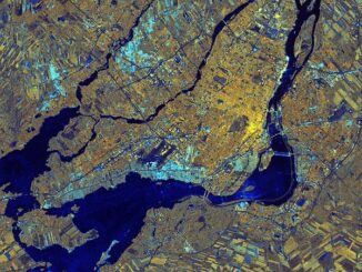
MacDonald, Dettwiler and Associates Ltd. a global communications and information company announced that it has signed a four year contract…
Making a Crow Attack Web Page With Open Source GIS Tools
Of all the pleasant events that happen in spring, crow attacks rank at the bottom of the pile. Crows become…
Government of Yukon Wins 2016 Esri Special Achievement in GIS Award
SAN DIEGO, Esri User Conference—June 29, 2016—Esri Canada congratulates the Government of Yukon for receiving the 2016 Esri Special Achievement…
Transport Canada updates Canadian UAV Stakeholders
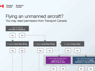
GoGeomatics got an interesting email this week about the proposed regulatory framework regarding UAVs from Transport Canada. It’s really an…
Airbus Defense And Space Signs Deal with Vancouver’s 3v Geomatics
Airbus Defense and Space and 3v Geomatics Inc. (3v Geomatics) signed a multi-year agreement that will provide 3v Geomatics with…
Esri Technical Associate Certification: how I passed the test
A few months ago, I decided to obtain the Esri Associate certification for ArcGIS Desktop and wrote about my reasoning here. …
Conversations with Michael Goodchild on Questions of Geography
Recently, I had the opportunity to sit down with Michael Goodchild and talk about his book and Geography. Michael was…
Drone World Expo Conference Program Will Provide a Road Map for Commercial Drone Solutions
A world-class conference program and several new educational and networking features will take place at the 2nd annual Drone World…
Global GIS Market to Grow Steadily at a CAGR of More Than 10% by 2020
Technavios market research analyst predicts the global GIS market to grow steadily at a CAGR of more than 10% by…
Thinking About Geomatics: How to Find the Right Device for Data Collection
Finding the right device for data collection I was at CNAM recently and a number of discussions reminded me of…
PCI Geomatics Delivers High Volume Production System (GXL) to Skymap Global in Singapore
MARKHAM, Ontario, Canada—May 25, 2016: PCI Geomatics, a world leading developer of remote sensing and photogrammetric software and systems, announced…
Georeferencing Scanned Maps Using QGIS
One of the passions of modern day information technologists is to convert the past to digital form and to put…