GEOAI
The Cooperative National Geologic Map: A Tool for Science, Safety, and Society
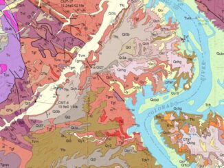
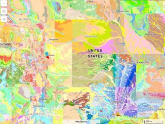
The U.S. Geological Survey (USGS) has released a new interactive web tool, The Cooperative National Geologic Map, the most detailed national-scale geologic map of the United States to date. Geologic maps serve many purposes. They […]