Community
Canadian Geospatial Digest – September 1, 2025
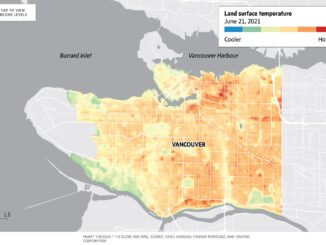
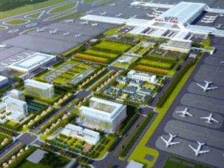
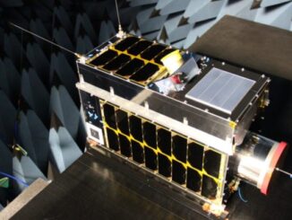
Vancouver-Based URSA Project Models Urban Resilience to Shape Climate Policy Quebec City First in Canada to Join Google’s Project Green Light Canadian Rocket Launches Signal Growth in Space Sector Port of Churchill Envisioned as Canada’s […]